Sketch of Trip advisor Paris
General idea
This project is based on the Dictionnaire administratif des rues et des monuments de Paris et le Nouveau dictionnaire historique. Those dictionaries documentsthe streets and monuments in paris in 1844 and 1904. We thought of a website inspired from a tripadvisor like service to present informations about the streets and nearby monuments. We could compare the streets in the books from what still exists today.
Sketches
Asking input from user, say where he stands :
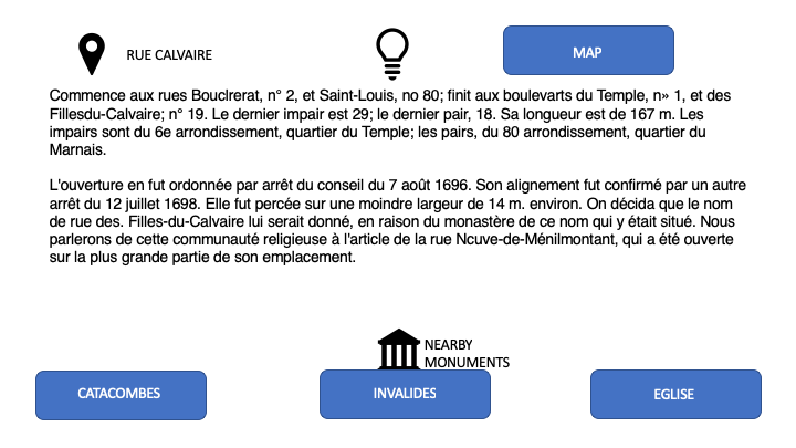
Gives information about the streets and all the monuments that are nearby (in the present or in the past) :
By doing so the user can have a new way do discover Paris, with an historical perspective.
We could also show the difference on a map if the place evolved during the century. We could also bring picture from the place if they are available on Galica.
References
"Dictionnaire administratif des rues et des monuments de Paris"

